Purpose-Built: Why ExoSphere by Fleet® Uses 1C over 3C

It makes sense. Collect more data and you should have a better map of the subsurface. Right? Well, not always. The best answer is that it depends on your purpose. Let us explain.
Seismic waves are of two types: surface waves that travel at the Earth’s surface and body waves that pass through the interior of the planet. Of the surface waves, there are Rayleigh and Love waves. Rayleigh waves have an elliptical, rolling motion similar to waves on the ocean and are responsible for the majority of earthquake damage. Love waves have a side-to-side, purely horizontal motion.
It turns out that all these waves reverberating around the Earth can and do create significant interferences with each other. Rayleigh waves for example are generated by constructive interference of P-waves (compressional waves) and vertically polarised S-waves (shear waves) at the Earth's surface. Love waves are purely composed of horizontally polarised S-waves and have no vertical motion.
For earthquake studies, geophysicists use 3 component (3C) geophones, or more likely an array of 3C and 1C sensors, to record ground motion in three orthogonal directions: vertical, north-south, and east-west. This information allows the polarisation of the waves to be determined, making it easier to identify S-waves in seismograms and can also give the direction of the incoming P-waves to understand the source direction.
So, why only use 1-component (1C) geophones?

While we can use the various seismic wave interferences to understand the subsurface, interferences between the different waveforms also creates a lot of noise that can make disentangling all the sources and amplitudes of different seismic waves difficult (Xie et al. 2023).
Ambient noise studies rely on very low amplitude signals. Love waves do add incremental value to the results, but their measurement can have greater uncertainties and their propagation at higher frequencies is dependent on strong contrasts in local velocity structure.
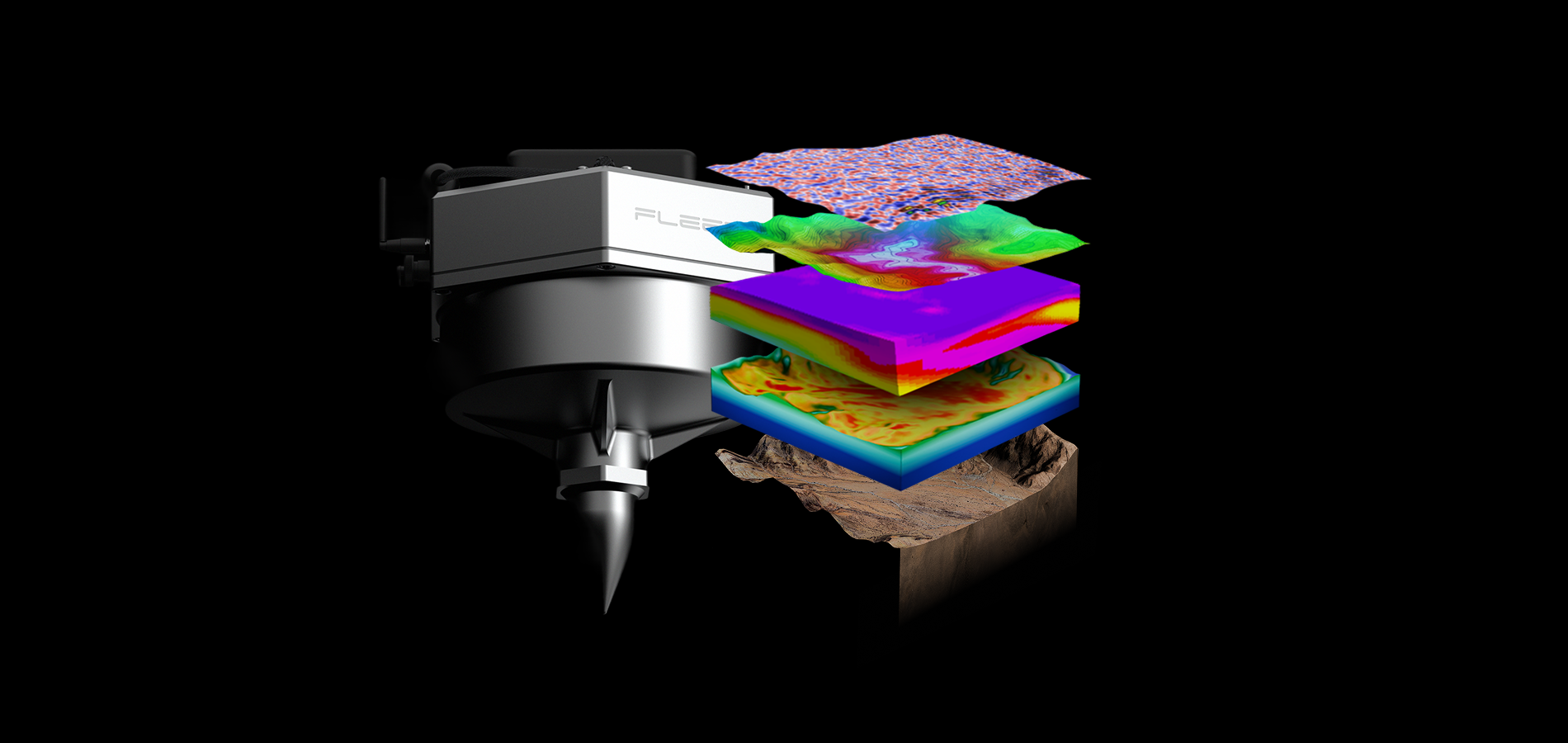
For these reasons, Rayleigh waves are preferred for Ambient NoiseTomography, which is the type of work that Fleet Space Technologies specialises in (Olivier et al. 2022). Rayleigh waves can be recorded with sufficient precision in a wide range of geological environments using only 1C geophones set to record vertical motion.
It is important to recognise that for the incremental extra information gained using multiple component geophones, there are extra costs incurred. The 3C geophones need to be larger, so they weigh more and take longer to deploy, and there are also significant increases in the time needed for data processing and modelling. All of which adds to the time and financial costs of any deployment.
The 1C geophones give data that fits the purpose of the survey: to provide sensitive, near-real time velocity data. Plus, 1C reduces the bandwidth required for our satellite-enabled process, and gives our clients faster access to the results. That allows mineral exploration companies to better understand the subsurface and design their drilling programs to discover the critical minerals needed for the energy transition.
Want to know more about what our technology can do for you? Get in touch with our team.
References
Olivier, Gerrit, Braeden Borg, Lawrence Trevor, Boris Combeau, Philippe Dales, Jonathan Gordon, Hemant Chaurasia, and Matthew Pearson. 2022. “Fleet’s Geode: A Breakthrough Sensor for Real-Time Ambient Seismic Noise Tomography over DtS-IoT.” Sensors 22 (21). https://doi.org/10.3390/s22218372.
Xie, Jinyun, Yinhe Luo, Yingjie Yang, Yanan Xie, and Xiaozhou Yang. 2023. “On the Accuracy of Surface‐Wave Dispersion Measurements from Horizontal‐Component Ambient Noise Cross Correlations.” Seismological Research Letters 94 (6): 2787–2800.


