Fleet Space Technologies to Revolutionise Mineral Exploration with Launch of ExoSphere by Fleet®

Fleet’s new product is a first-of-its-kind system that combines wireless Geodes, intelligent cloud processing and a constellation of low earth orbit (LEO) nanosatellites to discover critical resources up to 100 times faster than traditional methods. It also drastically reduces the requirement for environmentally damaging elements of existing surveyance practices such as the use of explosives, noise machines and drilling. In this sense it is a passive, non-destructive technique to assess site viability for mineral and material deposits.
“At this critical point for our planet, the world is rapidly transitioning to green energy and cleaner industrial operations. The IMF predicts that in just two decades more than $13 trillion (USD) worth of the four major energy transition minerals must be mined to reach net zero ambitions. This requires more sustainable, faster and economically viable exploration practices.
We have created the answer by unlocking the power of global connectivity through Fleet’s network of small satellites. They are already in operation in tandem with revolutionary non-invasive probes that rapidly scan beneath the earth to identify sources of these critical resources. This removes the need for invasive drilling practices, significantly reduces cost and can speed up discoveries more than one hundred-fold. We are proud to enable this critical step in mining to provide better access to the resources we need to make a better future for humanity.”
Matt Pearson, Co-Founder, Fleet Space Technologies
How ExoSphere by Fleet® Technology Works
Deposits of copper, nickel, cobalt, gold and lithium for example, which is used to create zero emissions car batteries can now be discovered through a 50 sq/km grid of satellite-enabled Geodes, which can be easily installed by small, local teams. These are hand-transportable sensors which dramatically reduces the logistics requirements for remote exploration projects. It also allows explorers to adapt their approach quickly without the need to dismantle and move heavy equipment.
Each wireless, battery-operated Geode contains a sophisticated processing unit, satellite transmitter and a seismic sensor. The Geodes use the principles of seismology to map the properties of the Earth’s subsurface from reflected seismic waves by recording ambient noise – a process known as Ambient Noise Tomography (ANT).
Once sufficient ANT data is gathered, Geodes partially process the raw information on site, reducing the data requirement for transmission – a practice known as ‘edge processing’ that significantly increases the speed of connectivity between Internet of Things (IoT) devices and allows more information to be sent while drawing significantly less power.
This streamlined volume of data is securely pushed to Fleet Space’s existing network of low-power small satellites. The smallsat then automatically sends the information to ground stations, dramatically reducing the time required to process data. This in turn allows explorers to make informed decisions on areas of interest much faster than traditional methods. There is now no need to wait for devices to be collected, shipped, and unpacked to collect the data.
The data from each Geode is rapidly processed through a machine learning algorithm aimed to deliver a full 3D visualisation of the subsurface down to 2.5km depth. A clear, rich image of what resources are below ground can be generated in as little as four days – ordinarily, ANT takes 6-12 months to return a conclusive result.
Using a bespoke Fleet-developed system, these visualisations are accessible to view and export anywhere on Earth in real-time. The speed of this imaging now means that thousands of square kilometres of an area can be imaged in a fraction of the time of traditional methods.
Technologies Already In Operation
This combination of three radical technologies – ambient seismic noise tomography, low-power satellite connectivity, and intelligent cloud processing are employed to help leading companies with exploration for copper, gold, cobalt, nickel, lithium and other critical minerals. In a landmark 1000km2 survey in Australia's South Eastern region, the ANT method was utilised to unobtrusively image regional structures and faulting in order to target a geothermal reservoir.
ExoSphere by Fleet® In Action: A Case Study With Greenfields
“We choose to work with Fleet’s new technology to dramatically speed up and lower the cost of our remote field work in Greenland. Our approach to exploration requires imaging data that is acquired as cost effectively, quickly and as sensitive to the environment as possible. We see the potential in this technology to relieve major pressure points in mining exploration.”
Lindsay Dick, Executive Director of Greenfield’s Exploration

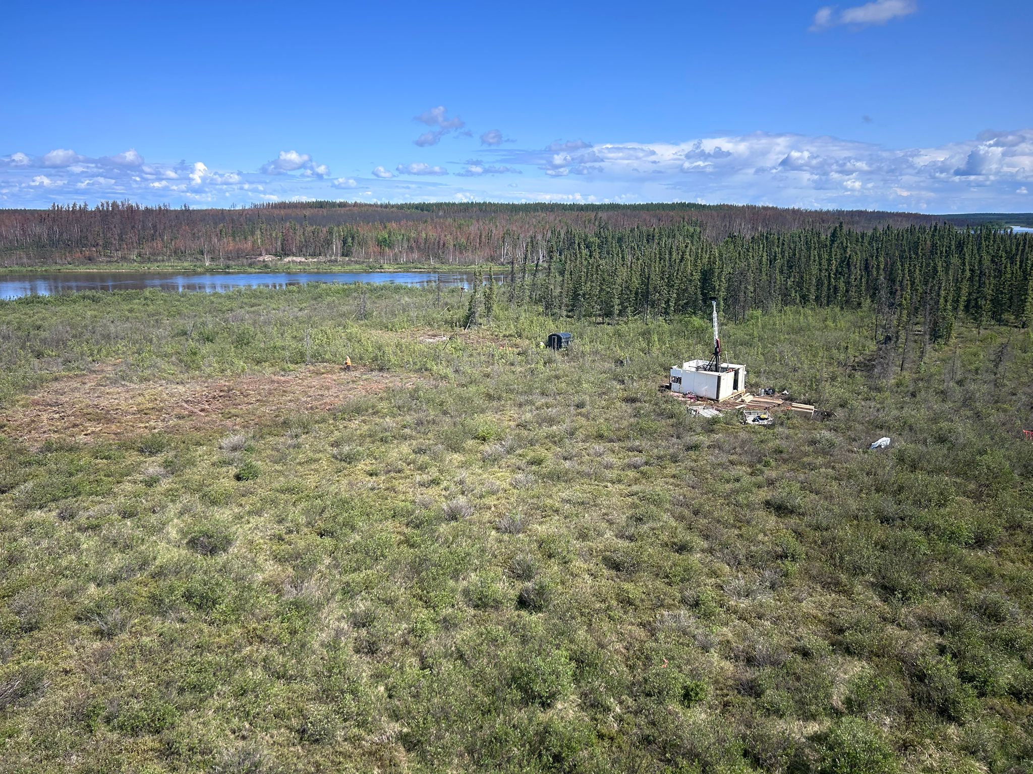
Greenfields Exploration is a mineral project generator focusing on prospects of metals critical to energy generation and storage. One of their projects is based in Greenland. The focus of the investigation is in a remote location five hundred miles away from the nearest town. This approach significantly limits the typical environmental, social and agricultural aspects associated with typical mining development.
How Fleet Space’s Technology Solves Greenfields’ Two Key Challenges
Greenfields engaged with Fleet to address two key challenges.
Firstly, there was very little data existing in Greenland. Greenfields also explores over a very wide search space of approximately 5,700 km/sq. To make exploration viable, they need to narrow the search space very quickly.
Fleet’s Technology helps Greenfields address these challenges. Connectivity dramatically reduces the time it takes for Greenfields to receive data from a survey. This makes for faster decision-making times, improving the narrowing down of search areas by an order of magnitude. Indeed, Fleet’s technology allows Greenfields to access data within a week of placing geodes in the ground versus 10 weeks using traditional mining methods.
The partnership also significantly reduces costs – with total savings of one third versus more traditional methods. This in turn dramatically reduces environmental impact as geodes only need to sit on top of land rather than the normal requirement for more invasive, machine and vehicle heavy techniques.
For further information or to book a sales call, please contact us at sales@fleetspace.com


