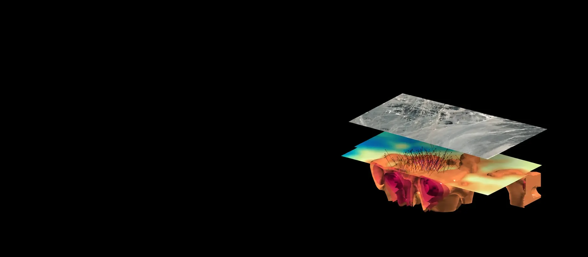
Mineral exploration
Closing the confidence gap between your geophysics program and ground truth.


Seismic-led Mineral Exploration and Resource Growth
Integrated 3D Seismic Intelligence
giving exploration teams a new layer of clarity to de-risk and accelerate their next move.
Why Seismic
Seismic + Machine Learning to enhance understanding of the subsurface
3D seismic is the clearest geophysical method for imaging structure, delivering rock type, porosity and fracturing. That matters because mineral systems are fundamentally structural, and seismic best reveals the architecture that controls where mineralization events sit.
Modern seismic now offers new utility as part of an integrated geoscience approach for mineral exploration. This coupled with significant advancement in machine learning and computation geophysics means we can now build on a program’s full dataset to deliver subtle correlations that would normally be missed. It moves exploration beyond layering datasets on top of each other hoping a picture emerges, to a deeper, more nuanced understanding of the subsurface.
Capabilities
Fleet Technology
Eight capabilities .
One integrated program.
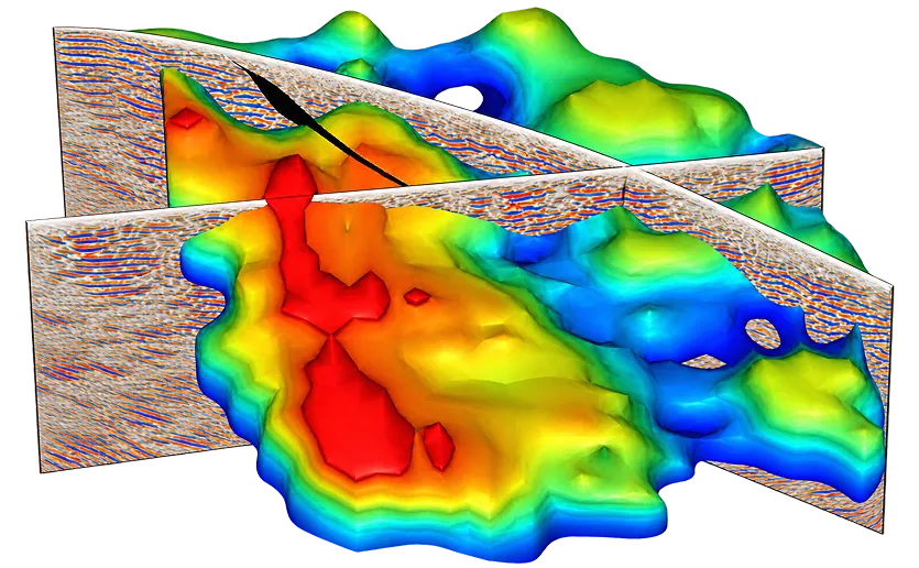
Each capability contributes a distinct layer of subsurface intelligence to your workflow. All of it converging into a single 3D exploration model your team can act on.
Decision Engine
ExoSphere by Fleet
Depth resolved 3D structural foundation

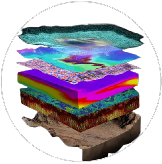
Seismic-led Integrated Geoscience
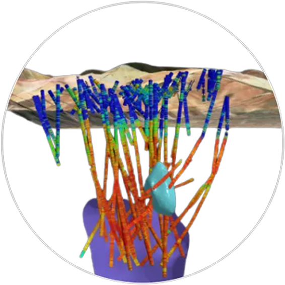
Drillhole data
ground truth
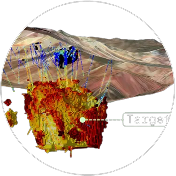
ML Targets
Predict. Quantify. Update

Built by geoscientists for geoscientists
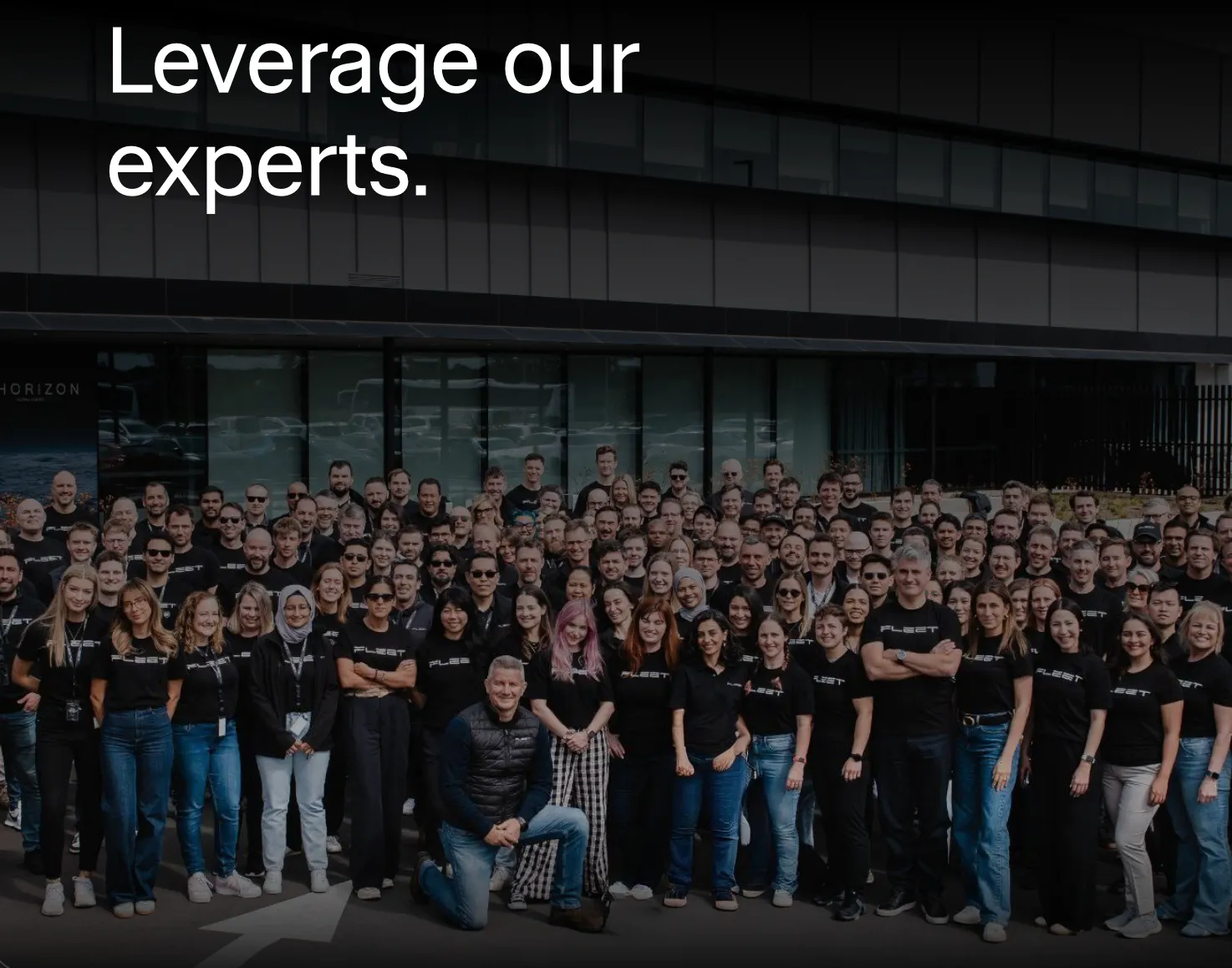
Your geoscientists backed by ours
Fleet's geoscience team has worked across 400 programs globally building integrated 3D models tested against what 's actually in the ground.
We start with the geological question, not the easiest dataset, building integrated 3D models constrained against seismic, and handing over targets a drill program can be built on .
Structural geologists, geophysicists, geochemists and seismologists who've worked exploration and operating environments, not just software, ready to work directly with your exploration team.
Expertise anchored in geology, geophysics, engineering, applied machine learning and data science dedicated entirely to hard rock mineral systems.
Customer Impact
Fleet in the field

Integrating ANT + MT + Mineralogy + ML to image the high-grade core of Valeriano


Fleet's Real-Time ANT Service Trialled at Northern Star's Kalgoorie Operations


Ambient Noise Tomography for Copper Exploration: Emmie IOCG & Emmie Bluff, SA
Fleet Space Technologies
Seismic-led mineral exploration